River Modelling, Lisvane, Cardiff
Linked 1D − 2D river model
The study involved producing a river model of the Nant Ty-draw and Nant y Felin watercourses within the predominately agricultural land to the north-east of Lisvane in Cardiff. The model was then used to determine the extent of flooding adjacent to a proposed new residential development in the area. The model used the river flows estimated using a Flood Estimation Handbook (FEH) study also carried out a part of the project. Morton-Roberts also sized six new culverts to carry the proposed development's spine road over the watercourses.
FEH Study
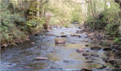
The catchments of the two watercourses extend to the ridge of the steep hills which rise to the north of Cardiff.
The FEH study involved estimating the flows at several points along the two named watercourses and tributaries and the production of input hydrographs for the river model with return periods of up to the 1 in 1,000 years. The work followed both Natural Resources Wales' Practice Notes and the Environment Agency's 'Flood Estimation Guidelines' and utilised the approach sometimes referred to as the 'ratio method'.
Details of river model
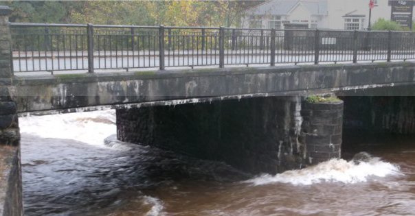
The 1D - 2D linked hydraulic model of the two watercourses was constructed using Flood Modeller Pro software and included representations of two Dwr Cymru Welsh Water water abstraction points which serve the nearby Lisvane and Llanishen Reservoirs. The model also represented the various culverts under Cefn Mably Road and St Mellons Road, the latter being twin culverts.
The lower part of the Nant Ty-draw watercourse proved to be man-made and was possibly at one time a leat leading to the mill at Mill Farm to the south of St Mellons Road.
Proposed culverts
The proposed culverts were sized so as to comply with the requirements of TAN15 and CIRIA C689 'Culvert design and operation manual'.
Further details of our river modelling capabilities
Further details of our services are given within the following pages:
Flood Estimation Handbook (FEH)
Alternatively please contact us for further details of our river modelling capabilities.
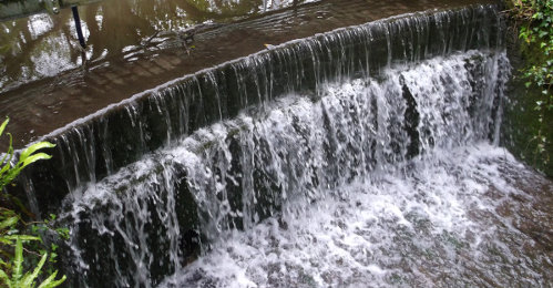
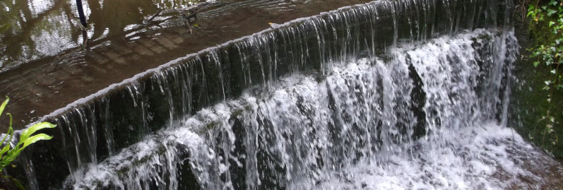
Photograph: Weir downstream of one of the DCWW water abstraction points.